Welcome to Sunset Trail Riders
Being one of Canada’s few snowmobile clubs that touch a provincial (MB) and international (USA) border while having over 500 km of club groomed trails.
We welcome you to come join our club full of fellow snowmobile enthusiasts!
Kenora, CA17°Feels like: 17°CMostly Cloudy5:13 am9:19 pm CDT
Wind: 10km/h SSE
Humidity: 63%
Pressure: 1019.64mbar
UV index: 04 am5 am6 am17°C
17°C
17°CThuFriSat22°C / 13°C
20°C / 12°C
26°C / 17°C
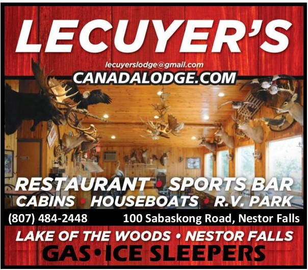
OUR SPONSORS